The Alafia River is prone to flooding like any other river. Hillsborough County has maintained river water level readings daily since 1933! The USGS National Water Dashboard shows these daily heights as well as other water measurements such as temperature and rate of flow.
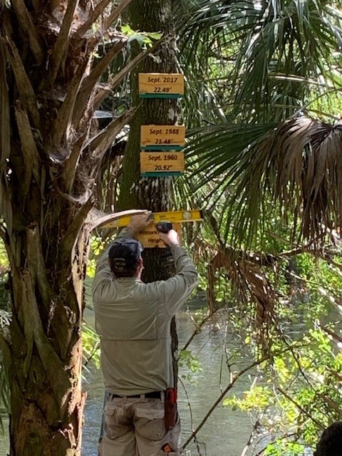
This exhibit shows the top 3 water level heights recorded on the river since 1933. The top of the blue line illustrates the water level. Interestingly, the last several major floods have all occurred roughly 28 years apart.
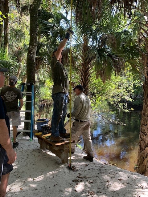
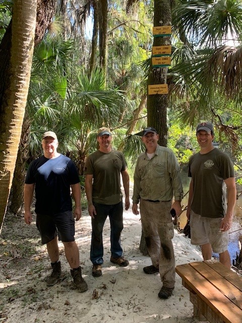
Those who have lived in River Hills for a while will remember the flood of September 2017, which flooded many homes across Lithia-Pinecrest. One of the photos below shows 2020 Trail Leader Sean Troyer standing on top of this bench.
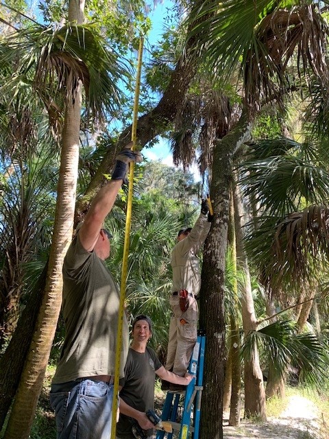
Installing the Sign
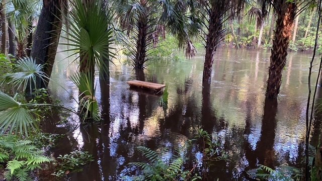
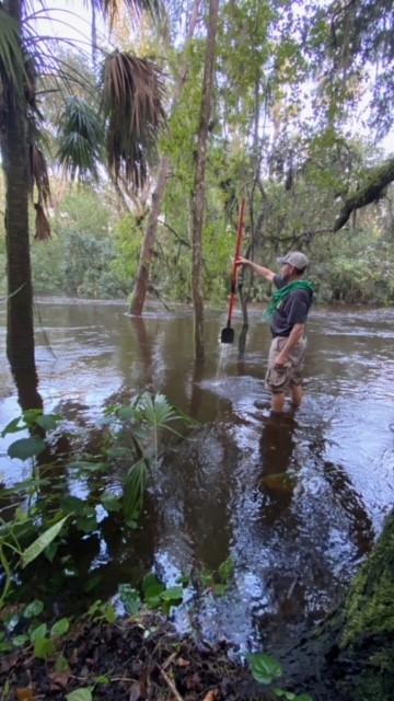
The Trail During a Flood Event
When the river gauge reaches +6.0 ft, sections of the trail flood like this. TRAIL FLOODED signs are posted at all entrances when this occurs.
This exhibit and all the amenities of the trail system are maintained by volunteers. Students can receive Bright Futures Service hours for helping. Follow trail events and contact the trail leaders at the Trails of River Hills Facebook page. Special thanks to Trail Artisan Amanda Seeley for creating these signs.